
Reading the Danville Street Directory by Address
A street-by-street search in Danville is a parcel exercise first. Enter one exact address in the Contra Costa property tools, save the APN and parcel map, and compare the same location in Danville Pioneer. That anchor lets the Recorder search use a legal description or parcel link instead of a loose name. It also keeps the address, the land, and the person questions in the right order. A parcel may show an owner clue, but no single public source confirms every person who is present.
The useful trail is address to APN, APN to assessed owner through lawful roll access, owner to recorded deed, deed to prior grantor, and only then to the sources that describe people connected with the place. A California voter record is not a casual street browse. Use individual My Voter Status for the person's own status, or the restricted file process only when an approved purpose and request meet state rules. For past occupants, turn to the library's reverse material and local newspapers.
- Start with the address. Run the street address in ParcelQuest Lite or CCMAP. If the match fails, try the APN or the normalized street form.
- Walk the parcel. Save the APN, map, lot details, value, aerial, and zoning context. Browse nearby polygons when the goal is a block, not a named person.
- Resolve ownership. Inspect the public assessment roll or use a recorded instrument to connect the parcel to an owner. County web tools omit owner names.
- Trace the deed. Search the current grantee, record the seller, and search that seller as an earlier grantee while confirming the same legal description.
- Add people evidence carefully. Use an eligible voter channel, permit history, newspaper, or criss-cross directory for its stated year and field, never as a complete household list.
Danville Street Records by Address
Modern Danville street records divide among the County Assessor and GIS system, the Town's planning and building files, the Clerk-Recorder, and restricted election channels. Each set has a distinct address key and a distinct limit. The address-record coverage below is meant to keep a parcel result from being mistaken for an occupancy result.
| Address record | Keeper | What the key can show | Access |
|---|---|---|---|
| ParcelQuest Lite / CCMAP | County Assessor and GIS | APN, shape, value, lot size, map, aerial, radius | Free online; owner names omitted |
| Danville Pioneer | Town Planning | APN or address zoning report; owner-name lead | Free online; verify ownership |
| Recorded documents | County Clerk-Recorder | Party, instrument, date, legal description in image | Search, order, or counter |
| Permit and code file | Town Building Division | Work, applicant or contractor, dates, status | Address request; older paper may need retrieval |
| Reverse or criss-cross directory | Library or History Center | Printed listed occupant for a publication year | Ask for exact volume; historical access |
| Voter record | County Elections and California SOS | Permitted registration fields | Authenticated or statutory request, not street browse |
The APN is the main connector. It can tie the map to a parcel record, a subdivision or recorded map, a deed image, and a permit request. The street name then supplies a browse path through the GIS viewer and historical address sources. A current voter file does not complete that chain because California law restricts the file and excludes protected records.
Note: The APN is the strongest bridge when an address fails or a parcel has no street label.
ParcelQuest Fields for a Danville Street Search
The County's Maps & Property Information page documents the search fields behind ParcelQuest Lite. An address is a normal first key, but an APN is essential for vacant land or a parcel whose postal wording does not match the county record. A map click can then expose parcel characteristics without requiring a person's name.
| Assessor field | Type | Required | Format or result |
|---|---|---|---|
| Street Address | Text | One search key | May fail for vacant parcels |
| Assessor's Parcel Number | Text | One search key | Use for parcels without an address |
| Map Select | Map click | No | View parcel map and characteristics |
The online result can show APN, site geometry, assessed value, building square footage, lot size, parcel-map PDF, aerial imagery, and contours. GIS layers and downloads are updated monthly. That is strong location evidence, yet it is not a Danville household index. Owner information remains available through lawful public-roll inspection or recorded documents rather than the web card.
CCMAP Layers Along a Danville Street
The CCMAP parcel viewer adds a geographic browse mode to the address search. Locate a target parcel, zoom until boundaries are clear, and record adjacent APNs. Aerials, contours, parcel maps, and radius selection help separate a true neighboring parcel from a similar street label. The viewer supports a block survey while keeping the working notes tied to land identifiers rather than names.
For a whole-street question, capture each parcel's APN, map date, lot or block reference, and subdivision name. A radius can select parcels within a distance, while the Assessor's staff-produced radius service is available at the posted $50 fee. Use the free viewer first and request the paid counter product for a documented parcel set. Neither path supplies a complete list of people.
The CCMAP capture shows the parcel, aerial, contour, and radius tools used in a Danville street directory search.
Record APNs first. Names, if later obtained from a lawful custodian, can then be checked against the exact parcel trail.
Danville Street Zoning by Parcel
Danville Pioneer supplies a municipal layer that the County parcel card does not. The Town's zoning ordinance map page says Pioneer accepts an APN, address, or owner name and returns a zoning-district report. Use the APN from CCMAP, compare the address, and keep the report with the parcel map. This is especially useful when a postal Danville label reaches an area outside Town jurisdiction.
Zoning gives land-use context, not a resident name. An owner-name search may point to a parcel, but it should be checked against the County assessment roll or a recorded deed. The Town Building page can then route a focused permit question by address, APN, permit number, project type, applicant, contractor, or issue and final date. Planning and Building can also clarify whether the address is inside the municipal service area before a records request is sent.
The Danville Pioneer zoning source illustrates the local parcel report route.
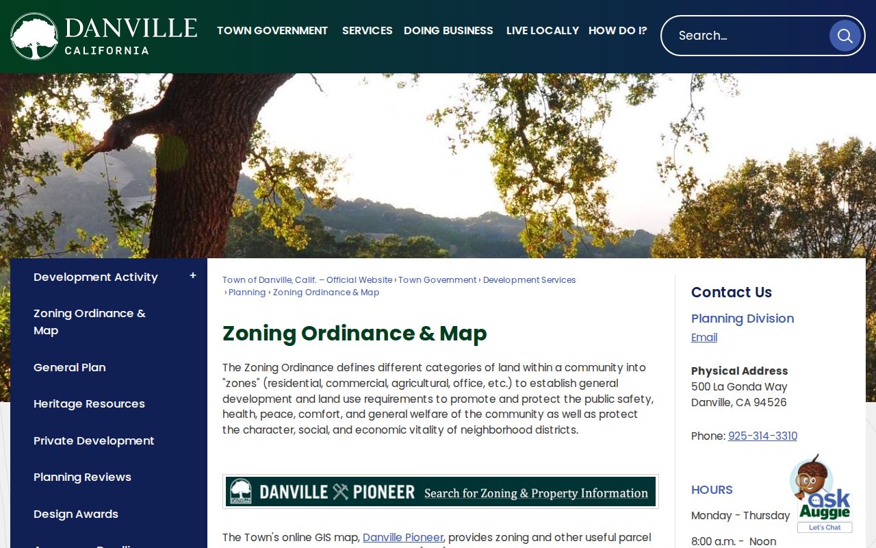
A zoning report can explain a parcel's setting without turning a planning record into proof of who lives there.
Why Danville Street Records Omit Names
Contra Costa states that ownership is part of the public assessment roll, but its web property tools omit every owner name because protected address suppressions would be difficult to maintain online. Read the free result for APN, map, value, size, and related characteristics, then use the public counter or Recorder index for ownership.
This asymmetry explains why Danville Pioneer and County mapping work together. Pioneer accepts an owner name as a discovery lead, while County mapping anchors the parcel. A deed index shows grantor and grantee roles, but a named party may not occupy the property. Keep owner, mailing address, situs, and occupant separate.
Note: A free online parcel result can be accurate while still omitting the ownership field needed to connect land to a person.
Danville Street Address Terms
Address research fails when a postal label is treated as the land record. A situs can remain stable while a mailing address points elsewhere. A street name can change while a legal description, subdivision, lot, or block continues to identify the same land. These terms make a Danville street directory search easier to audit.
- Parcel
- A mapped piece of land identified by an APN, with boundaries and characteristics in the County system.
- Situs address
- The physical location of the parcel used by the Assessor and GIS. It is not proof of who is present.
- Mailing address
- The destination for owner notices. It can be outside Danville and may be withheld online.
- Plat
- A recorded subdivision or parcel map that shows lot and block relationships and can outlast a street label.
- Criss-cross directory
- A reverse directory arranged by street and address, showing a listed person for a publication year rather than a complete current household.
When an old address does not match, retain both versions, then compare the legal description, parcel map, subdivision name, and newspaper wording. That approach protects the chain from false breaks caused by a new postal format or a boundary change.
Follow Danville Street Deeds Block by Block
Once an APN is stable, the Contra Costa recorded-document portal can connect the parcel to a current acquisition deed. Search the grantee, note the grantor, recording date, instrument number, and legal description, then search that grantor as a prior grantee. Repeat backward while confirming the same lot, block, APN, or legal description in each image. A grantor transfers an interest; a grantee receives it. The chain is an ownership trail, not a resident list.
The online landing page does not publish the Recorder's exact index start year. At that cutoff, call 925-335-7900 and ask whether the needed period is online, imaged at a terminal, or held in bound books or microfilm at 555 Escobar Street in Martinez. A street directory that stops at a web result is incomplete when the documented counter and phone channels can reach older instruments.
Danville Street Permits Date Work
The Town's Building and permit services add a time line to a parcel. A request can identify the street address, APN, permit number, project type, issue or final date, and applicant or contractor. Public fields may include scope, status, valuation, inspections, and dates. Code-enforcement material may add a case date, notice, final order, or resolution, while a complainant's identity may be withheld under an exemption.
Permit evidence can date construction, an alteration, or a change in parcel use. It does not prove that the owner, applicant, contractor, or person named in a notice lived there. If the online route lacks an older file, ask the Building Division or use a focused Town request for the address and date range.
The Town Building source shows the municipal channel for address-keyed permit work.
Keep permit participants in their proper role and use deeds, directories, or other records for a separate occupancy question.
Note: A permit names work tied to land, not every person connected with the address.
ZIP Lines in the Danville Street Directory
Postal geography can split a street research plan. ZIP Code 94526 reaches central, west, and south Danville. ZIP Code 94506 reaches east and northeast mailing areas associated with Tassajara and Blackhawk communities. A 94507 address is an Alamo postal code nearby, not a general Danville street ZIP, and should be included only when the exact address verifies.
“Danville” on a mailing label does not prove incorporation. Validate a boundary address with the USPS ZIP lookup, then compare Town limits in Pioneer or the Town GIS gateway and parcel boundaries in CCMAP. The County ParcelQuest tools are address and APN driven, with no documented broad ZIP filter. A street directory should therefore use ZIP as a routing clue, not as a substitute for the parcel or municipal jurisdiction.
Reading Older Danville Street Directories
Historical reverse and criss-cross directories can answer a past address-to-listed-person question that modern GIS does not. Exact Danville city, telephone, county, and reverse-directory runs were not published in the official online catalog. Ask the Danville Library or Walnut Creek genealogy collection for a shelf check, and capture the title page, year, abbreviation key, page, and printed address.
Use the newspaper run as a second path. Danville Journal covers 1914 through May 11, 1918, followed by Contra Costa Courier & Danville Journal through September 1930. History Center folders for Danville people, schools, churches, organizations, structures, and real estate can explain an address change. Search older records under San Ramon Valley and Contra Costa as well as Danville. The Danville city directory collections page carries the shelf detail. Current by-address records belong to the street-focused trail.
What a Danville Street Directory Cannot Show
No Danville street directory can reliably show every person present at a parcel, every household member, guests, minors, utility customers, DMV address data, or a participant in Safe at Home. A deed names parties to an instrument. A permit names people tied to work. A reverse directory names a listed person for one publication year. A voter file is governed by statutory purpose. Private association rosters, congregation lists, and club membership records should not be reproduced unless the organization deliberately publishes an official contact list.
California's Driver's Privacy Protection Act limits motor-vehicle address data. Elections Code section 2194 limits voter-file use, and California stalking and harassment laws make “public somewhere” different from lawful for any purpose. Preserve APNs and source dates in a block survey, not a speculative list of people. If a record is wrong, return to the custodian that created it and ask about its correction, exemption, or access rule.
Lawful personal use. Use Danville street and parcel records for family history, civic research, property questions, and other lawful needs. Do not use an address trail to stalk, harass, threaten, intimidate, or expose a protected person.
Note: A blank public result should lead to its custodian's access rule, not a stronger guess.