
Danville ZIP Code Coverage Compared
Danville’s main postal research starts with 94526 and 94506. A third nearby code, 94507, belongs in a Danville postal reference only when a specific address verifies it. The postal label is a delivery clue, not proof that the property sits inside the incorporated Town. Central and historic corridors generally align with 94526, while the eastern and northeastern mailing area reaches toward Tassajara and Blackhawk-associated communities. Use the exact street result before assigning an address to a government office.
| ZIP Code | Areas Covered | Post Office | Notes |
|---|---|---|---|
| 94526 | Central, west, and south Danville, including Downtown, the westside, Greenbrook and Sycamore, plus portions of the I-680 corridor | Danville Post Office, 2605 Camino Tassajara; verify the exact serving unit with USPS | Standard Danville ZIP; postal geography does not prove Town limits |
| 94506 | East and northeast Danville mailing area, including Tassajara and Blackhawk-associated communities | USPS routing under Danville; verify the street-specific result | Significant city and ZIP mismatch risk; a Danville mailing city does not prove incorporation |
| 94507 | Nearby Alamo PO Box or local postal code area | Alamo | Not a general Danville street ZIP; include only when a specific address verifies it |
The table describes postal reach, not households or a resident roll. A ZIP can guide an address, newspaper, or unclaimed-property search, but cannot identify who lives at every address. Keep 94507 conditional.
Verify a Danville ZIP with USPS
USPS verification is the cleanest first move when a mailing label, old envelope, or map result conflicts with a stated postal code. Enter the complete street address in the official ZIP lookup, preserve the returned ZIP and city line, and compare that result with the municipal boundary. A post-office facility page can identify a local station, but it does not decide which unit serves every street. Postal routing is address-specific.
The USPS Danville Post Office listing is the local facility reference used for the postal portion of the Danville ZIP code directory.
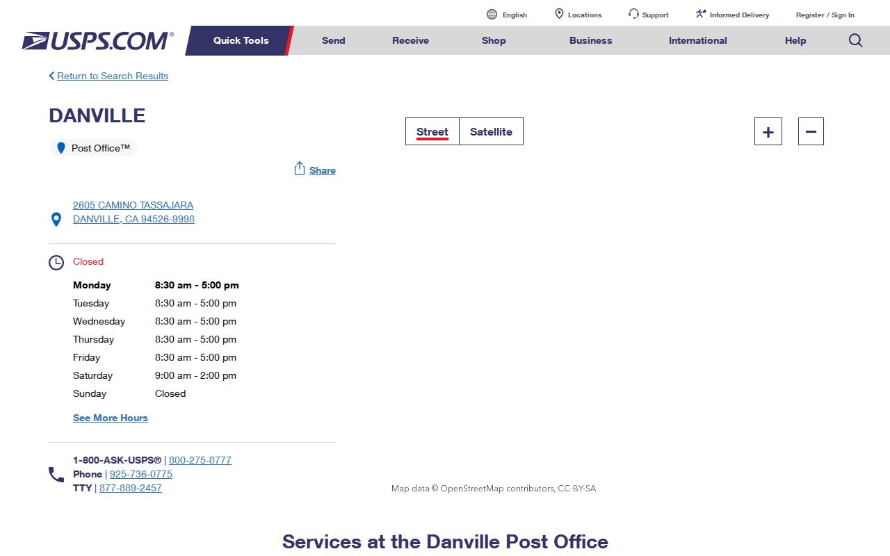
The location record gives a reader a USPS source to check alongside the street result. It should not be read as a townwide list of served addresses or residents.
- Enter the full street address, including the directional or unit detail that appears on the original record.
- Save the returned ZIP and postal city exactly as displayed, then compare it with the claimed Danville label.
- Check the Town boundary in Danville Pioneer or the Town map gateway before sending a permit or public-record request.
- Use the confirmed address or APN for parcel research, not the postal city alone.
Danville Mailing ZIPs Are Not Town Lines
Postal codes are built for delivery, while incorporation defines municipal authority. Danville incorporated in 1982, but the postal identity reaches places whose Town status must be tested separately. A 94506 mailing address toward Tassajara or Blackhawk can fall outside incorporated Danville. The same caution applies when an older deed, map, or newspaper uses San Ramon Valley or Contra Costa instead of the later postal city.
Boundary work matters before a records request. Town Planning and Building can handle a Town jurisdiction question, while the County holds core assessment, deed, vital, and many court records. A Town office may correctly redirect a request for an unincorporated address to Contra Costa County. Danville Pioneer and the Town map gateway help establish the municipal side; CCMAP and parcel records help tie the result to land.
Boundary check. Treat the ZIP as a postal clue. Confirm the incorporated Town line, parcel location, and responsible custodian before calling a record municipal or county-held.
What 94506 Means for Danville Research
94526 generally points to central, west, and south Danville, including the historic downtown corridor and established areas near Greenbrook and Sycamore. 94506 reaches east and northeast, including Tassajara and Blackhawk-associated postal communities. That comparison is useful for routing a question, but it is not a resident count or a boundary certificate. A postal city can cover an unincorporated area, and a subdivision name can be more reliable than a city label when older records are indexed.
Use local geography as a search aid. Search historic newspapers and directories with “Danville,” “San Ramon Valley,” and “Contra Costa.” Preserve Hartz Avenue, Railroad Avenue, Diablo Road, Camino Ramon, Sycamore Valley Road, and Camino Tassajara when those names appear in a deed or clipping. The words can lead to a tract, map, or older address even when the later postal label is absent.
Narrow a Danville ZIP Code Directory Search
A ZIP code can narrow an address project, but the available Contra Costa tools do not turn that filter into a public resident list. ParcelQuest Lite is address or APN driven. CCMAP supports map browsing and radius selection. Danville Pioneer accepts an APN, address, or owner name for a zoning report. My Voter Status authenticates an individual and cannot browse a ZIP. Work in that order, and keep the result type honest.
- Verify the address and ZIP with USPS, especially near Tassajara, Blackhawk, Alamo, or a boundary line.
- Use the address or APN in the County property tools to identify parcel shape, characteristics, map references, and assessed values.
- Use CCMAP or Pioneer to test the parcel’s location and Town context; an owner label is a lead, not occupancy proof.
- For voter information, use self-authenticated status or a statutory request with the required purpose and safeguards. Do not browse a ZIP for personal curiosity.
- Once a confirmed ZIP narrows the question to a street, continue with the Danville street directory and its address-level records.
No unrestricted official resident list organized by Danville ZIP is documented. A responsible postal directory describes the postal area and hands the address question to its custodian.
ParcelQuest Has No ZIP-Wide Resident Filter
The County Assessor’s property gateway accepts a street address or Assessor’s Parcel Number. It exposes parcel characteristics, assessed value, lot size, building square footage, map material, aerials, contours, and related GIS context. The County expressly omits every owner name from its web property tools because legally protected address suppressions would be difficult to maintain online. Ownership remains part of the public assessment roll and can be inspected through the office.
| Search path | Field or key | Result | ZIP limitation |
|---|---|---|---|
| USPS ZIP Lookup | Complete street address | Street-specific ZIP and postal city result | Verifies delivery; returns no resident list |
| ParcelQuest Lite | Street address or APN | Parcel, value, map, and property characteristics | No documented ZIP-wide filter or online owner field |
| CCMAP | Map click, address context, or parcel | Geometry, aerial, contours, APN, and radius selection | Map and radius tool, not a ZIP resident browse |
| My Voter Status | First name, last name, date of birth, and prompted matching data | Authenticated individual registration details | Not a ZIP browse and not a public surname directory |
ParcelQuest does not document a ZIP-wide filter, and voter lookup is not a ZIP browse. Selecting parcels is not naming occupants. Public owner information belongs at the assessment counter or in recorded documents, subject to protected fields.
Bridge ZIP Research with APN
An APN, or Assessor’s Parcel Number, is the strongest bridge between a current parcel map, assessment research, and a recorded deed. It can change after a split or merger, so preserve the legal description and map references from each record. A postal label may change with delivery geography, but a lot, block, subdivision, or metes-and-bounds description can keep the property trail connected across older documents.
- Situs address
- The physical location of the parcel used by the assessor and GIS map.
- Mailing address
- The destination for owner notices. It can be outside Danville and may be suppressed online.
- Legal description
- Lot, block, subdivision, or metes-and-bounds language that can survive a street-name or postal-label change.
- APN
- The assessor’s parcel identifier that connects map, assessment, and recorder research, while remaining subject to parcel changes.
Open the Danville Pioneer zoning search for Town context, then compare the deed image and parcel map. A mailing address is not occupancy proof.
California Voter Lookup Cannot Browse ZIPs
California’s voter system is often mistaken for a ZIP-based resident directory. My Voter Status checks an individual after identity fields and matching information are supplied. It is not a public list of names by ZIP or street. Voter-information files can include residence and mailing addresses, precinct, party preference, contact information, and participation history, but access requires a permitted election, scholarly, journalistic, political, or governmental purpose under Elections Code section 2194 and Government Code section 7924.000.
The Secretary of State request process requires requester identity, precise purpose, data scope, security statements, and signature. Specific voter records are listed at $30 each, with a $100 maximum. Safe at Home and designated public-safety records are excluded. A status mismatch belongs with Contra Costa Elections, not an inference about a ZIP move.
Search boundary. A ZIP can be part of a permitted election-data scope, but it is not a casual browse key for neighbors or a source of a general Danville residents directory.
Unclaimed Property and Older Danville Leads
The California State Controller’s unclaimed-property search can add a historic clue to a ZIP-focused inquiry. Search by owner surname or business name, given name, and city or ZIP. A result can show a reported owner, an address fragment or city, a property ID or type, and the reporting holder before a claim process begins. It may reflect an older affiliation and should never be treated as proof of a current Danville residence.
The California State Controller unclaimed-property search is the free official starting point for that narrow clue.
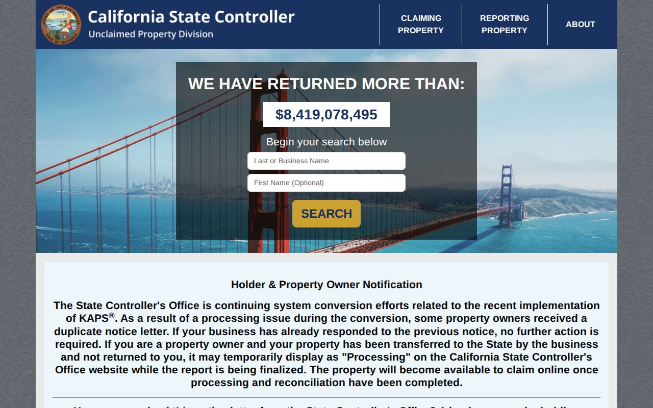
The result screen can help connect a name to an older city or ZIP reference, but the State Controller’s record is not a current address directory. Verify a meaningful lead through the correct county, court, vital, business, or property custodian.
ZIP Terms and the Unverified Split Year
Postal language can make a record sound more precise than it is. These terms keep a Danville postal directory from promising a list that the sources do not provide.
- ZIP code
- A five-digit USPS delivery area. It supports routing and address verification, not a municipal boundary or resident roll.
- ZIP+4
- An added four-digit delivery refinement for a street segment, building, or other postal unit; it is more precise than the five-digit area but still not a people list.
- PO-box ZIP
- A postal code used for a box or local postal purpose rather than a general street area. A nearby code must be confirmed for the particular address.
- Carrier route
- A delivery route inside a postal area. It describes mail operations, not who lives along the route.
No verified Danville ZIP split year was located. No official Town or USPS public table was found that enumerates every PO-box-only or unique Danville ZIP, or a historical realignment year. Do not invent a date from a changed label. Verify each address with USPS, then preserve the APN, legal description, map, and source date so later research can explain the difference.
A strong postal directory result joins a checked postal fact to the right land or record custodian without implying a broad official resident list.